Why Kyoto and Istanbul Became the Cities They Are
Neither city grew where it did by accident. Both sit at the exact point where geography made trade — and therefore power — concentrate, centuries before either name existed on a map.
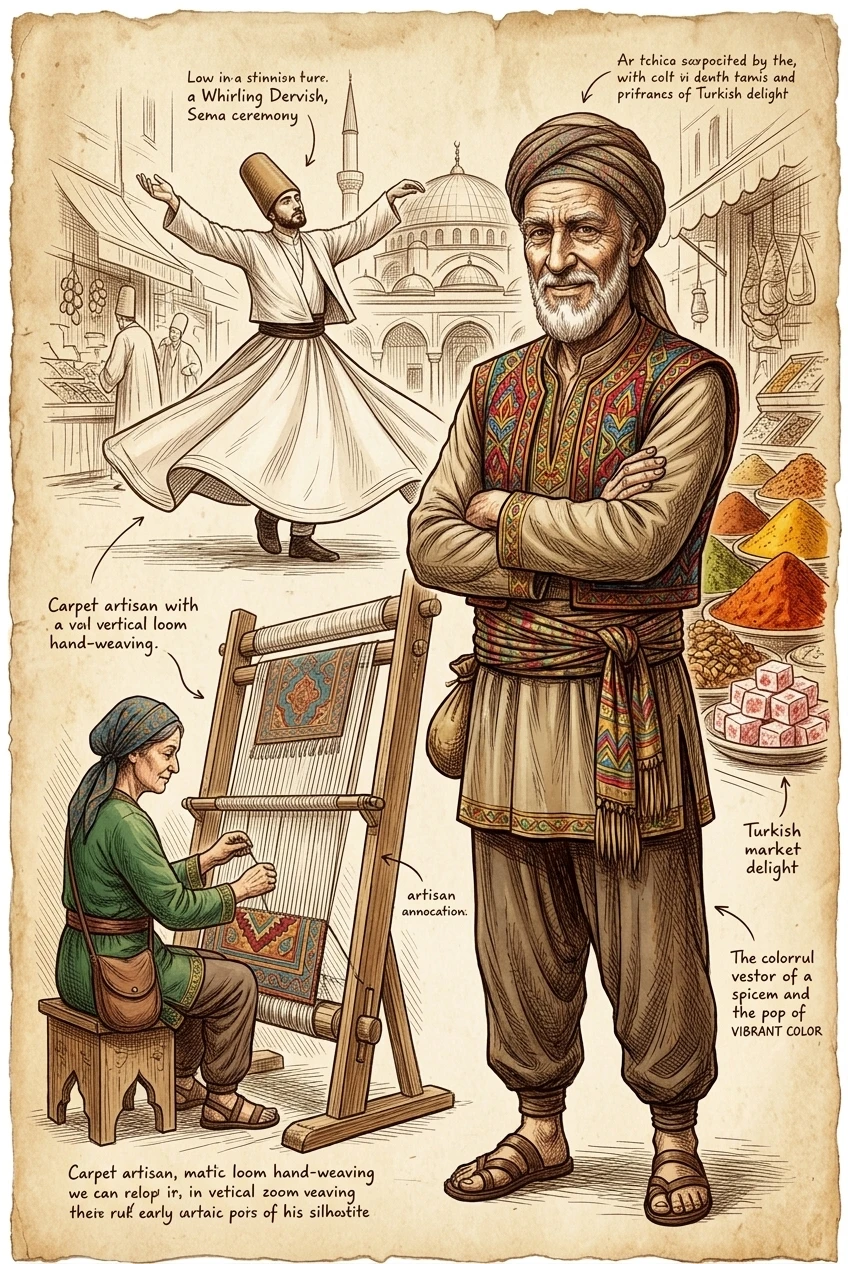
Istanbul occupies the one land crossing between Europe and Asia narrow enough to bridge and defensible enough to hold, sitting on the Bosphorus strait that connects the Black Sea to the Mediterranean. Founded as Byzantium in the 7th century BC, it became Constantinople under Roman and then Byzantine rule, and Istanbul under the Ottomans from 1453 — three different empires, three different names, and, for over 1,500 years running, the same underlying reason to hold the city: whoever controlled that crossing controlled the trade moving through it in every direction.
Kyoto's advantage was different in kind but similar in effect: chosen deliberately in 794 CE as the site of a new Japanese imperial capital, it sits in a basin surrounded by mountains on three sides, a defensible position with river access for supply and trade, near enough to the older capital at Nara to inherit its administrative and religious institutions without directly competing with them. It served as Japan's capital for over a thousand years, and its street grid, laid out in imitation of the Tang-dynasty Chinese capital Chang'an, is still legible in the city today.
Neither city's importance was really a matter of who happened to settle there first. Both sit at points where geography concentrates movement — a strait, a defensible basin with river access — and history shows the same pattern repeating in city after city across every trading civilization: the places that lasted were rarely the richest in resources on their own, they were the places nobody moving goods, armies, or ideas across a continent could easily avoid passing through.
The same pattern, from a desert oasis to a river bend
The Silk Road was never a single road — it was a shifting, roughly 4,000-mile network of overland and sea routes connecting China to the Mediterranean, in use in some form from around 200 BC. Along it, the cities that grew rich weren't the ones with the most resources of their own; they were the ones sitting at the intersection of multiple routes. Samarkand, founded around 700 BC in what is now Uzbekistan, is the clearest case: repeatedly conquered — by Alexander the Great in 329 BC, by Genghis Khan's armies in 1220 — and repeatedly rebuilt, because its position between China and the Mediterranean made it too valuable to leave in ruins. Under the 14th-century ruler Timur, that position was deliberately exploited: covered markets, guarded caravan routes and safe passage turned Samarkand into arguably the most important city on earth at the time, by design rather than accident. A separate, comparably important network — the trans-Saharan trade routes, carrying gold and salt rather than silk — did the same for Timbuktu, which rose to prominence under the Mali Empire, most famously under Mansa Musa in the 14th century, as West Africa's own version of a Samarkand.
Geographers have a name for this: the break of bulk point
Urban geographers describe the common thread as a "break of bulk" or gateway location — a point where cargo has to be unloaded from one mode of transport and reloaded onto another, whether that is a ship to a caravan, a river barge to a road, or, in the ancient world, the edge of a desert to an oasis. Rivers mattered even earlier than trade routes: fresh water, fertile land and a navigable transport line are why the earliest cities without exception grew up on riverbanks. Every one of these advantages compounds — a defensible river crossing draws settlement, settlement draws trade, trade draws more settlement — and the pattern hasn't stopped. Modern hub cities like Singapore and Dubai sit where they do, and thrive for the reason they do, for essentially the same structural reason Samarkand and Istanbul did: they occupy the chokepoint that trade has no easy way around.
Both cities, illustrated

Frequently Asked Questions
What exactly was the Silk Road?
Not a single road, but a roughly 4,000-mile network of overland and maritime trade routes connecting China to the Mediterranean, in active use in some form from around 200 BC until its overland routes declined in the 15th century. Goods, but also religions, technologies and diseases, moved along it in both directions.
Why did so many of these historic trade cities eventually decline?
Causes stacked up rather than acting alone: the Black Death of 1347–1353 devastated trading-city populations, the collapse of Mongol political unity after 1368 removed the security that had protected the routes, and the Ottoman conquest of Constantinople in 1453 let the new rulers tax and restrict European access to the old land routes — pushing European traders toward sea routes instead, which helped trigger the Age of Exploration.
Do trade routes still shape where cities grow today?
Yes. Modern hub cities such as Singapore, Dubai and Panama City occupy essentially the same kind of geographic chokepoint — a strait, a canal, a point where cargo changes transport mode — that built Istanbul, Samarkand and Timbuktu centuries earlier; the goods have changed, the underlying geography hasn't.