GPS
GPS — an illustrated inventions story, set in Global. 10 illustrated pages, free to read on Wonder Inventions.

Page 1
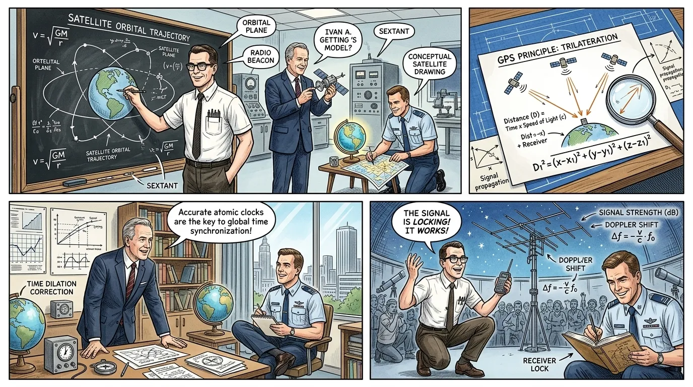
Before the advent of satellite navigation, humanity navigated by arduous means—celestial observation, radio beacons, and dead reckoning. The mid-20th century, a period of burgeoning technological ambition, exposed the severe limitations of these methods, particularly in military applications and global commerce. The need for precise, ubiquitous positioning became an urgent imperative, laying the groundwork for one of history's most transformative inventions.
The U.S. Naval Research Laboratory scientist Roger L. Easton, working tirelessly in the 1960s and 70s, pioneered key concepts for a satellite-based navigation system. His contributions, alongside others, culminated in the Global Positioning System, or GPS, fundamentally altering how we perceive and interact with our world. GPS provided a revolutionary solution to the ancient problem of knowing precisely 'where am I?'
Page 2
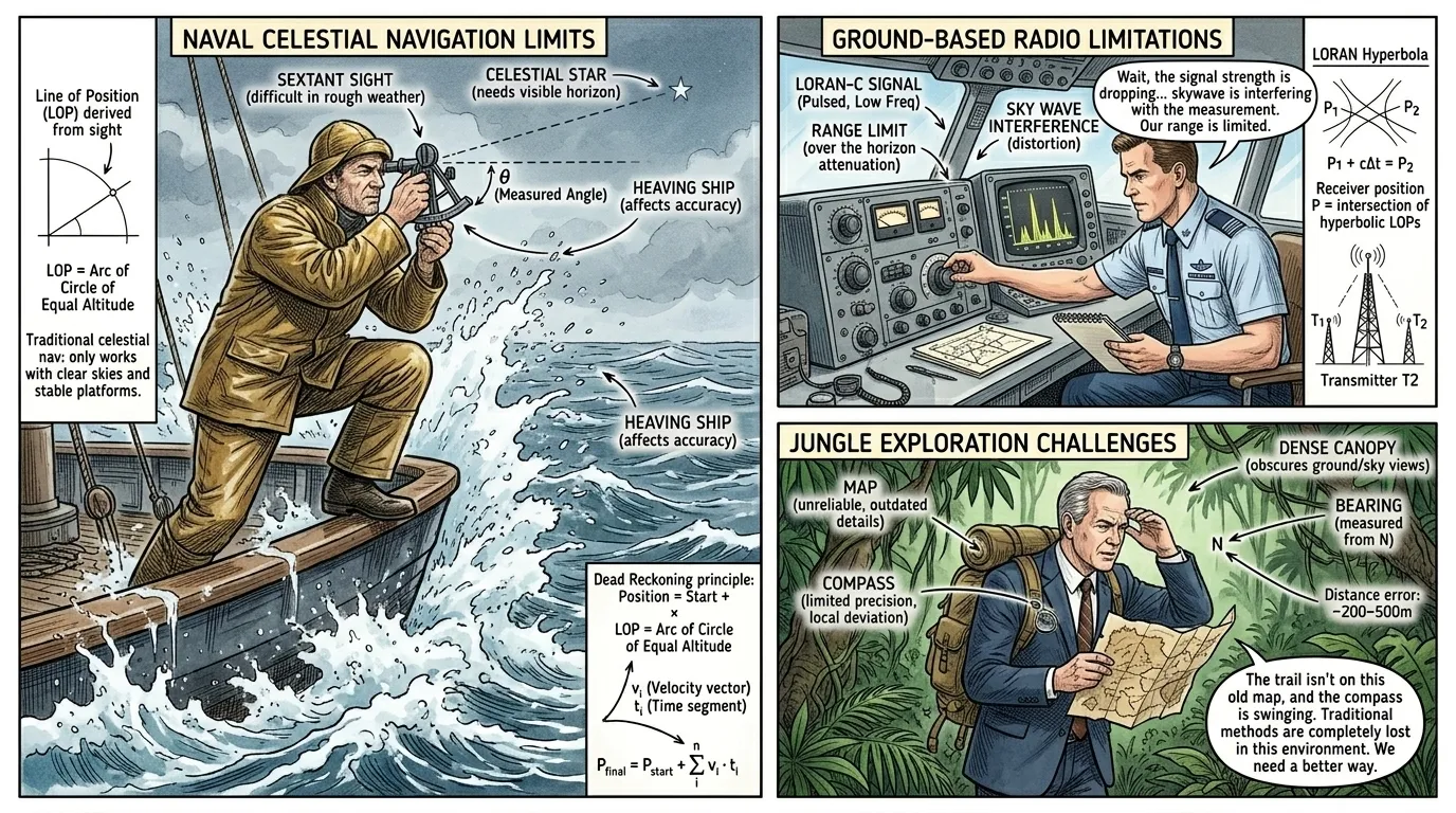
For centuries, mariners relied on a sextant and chronometer, celestial charts, and the sun or stars for positioning. While effective for open ocean navigation, these methods were slow, susceptible to weather, and offered limited accuracy. On land, explorers and armies depended on maps, compasses, and painstaking surveys, struggling with terrain and unpredictable conditions.
The dawn of aviation brought new demands, initially met by radio navigation systems like LORAN (Long Range Navigation), developed during World War II. These ground-based systems emitted radio pulses, allowing ships and aircraft to determine their position by measuring the time difference between received signals. However, LORAN's range was limited, signal quality could be inconsistent, and it required extensive ground infrastructure, making global, high-precision coverage impossible.
Page 3
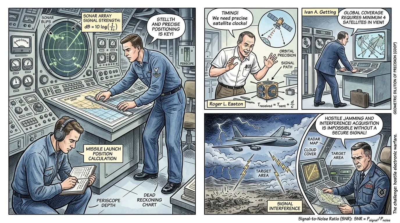
The Cold War era intensified the need for superior navigation. Nuclear submarines, operating silently beneath the ocean's surface, required precise positioning for missile launches, yet surfacing for celestial fixes compromised their stealth. Strategic bombers and reconnaissance aircraft needed pinpoint accuracy for target acquisition and intelligence gathering, often in hostile territories where ground-based navigation was unavailable or unreliable.
Existing systems struggled with global coverage, susceptibility to jamming, and the sheer logistical challenge of maintaining ground stations worldwide. The U.S. Department of Defense recognized that a new paradigm was essential—a system that could provide continuous, accurate, three-dimensional positioning, velocity, and time information to users anywhere on Earth, under any weather conditions. This ambition fueled the conceptualization of a satellite-based system.
Page 4
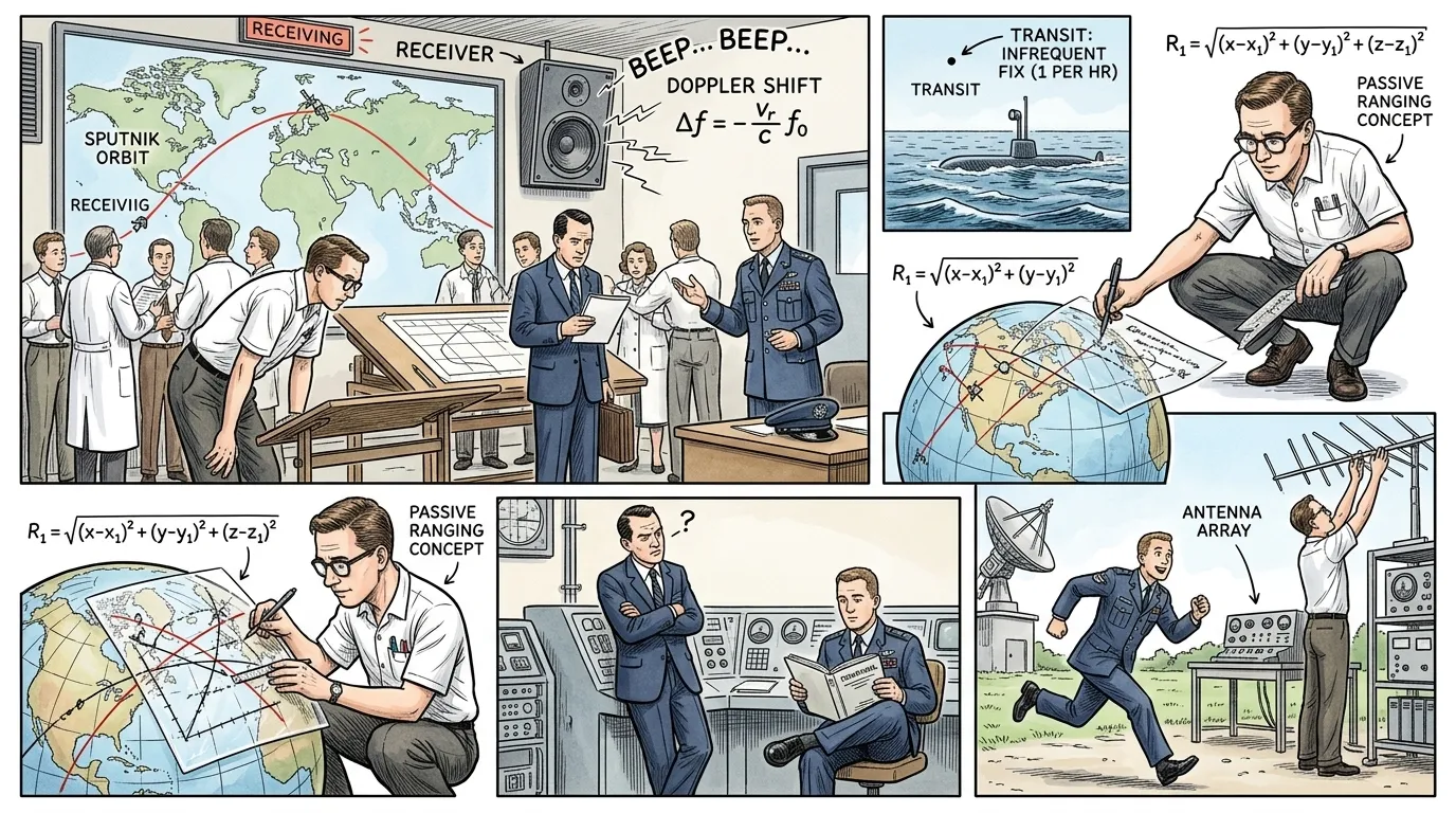
The idea of using satellites for navigation had circulated since the late 1950s, notably after the launch of Sputnik. Scientists observed the Doppler shift in Sputnik's radio signals, realizing that if a satellite's orbit was precisely known, its position could be used to determine a receiver's location. This led to the U.S. Navy's TRANSIT system, launched in 1960, which provided periodic position updates to submarines, marking the first satellite navigation system.
However, TRANSIT only offered two-dimensional fixes every hour or two and was primarily suited for slow-moving vessels. A truly global, continuous, and highly accurate system required a new architecture. Roger L. Easton, at the Naval Research Laboratory, began developing components of a 'passive ranging' system, where ground receivers would measure the time delay of signals from multiple satellites to calculate position, a fundamental principle of what would become GPS.
Page 5
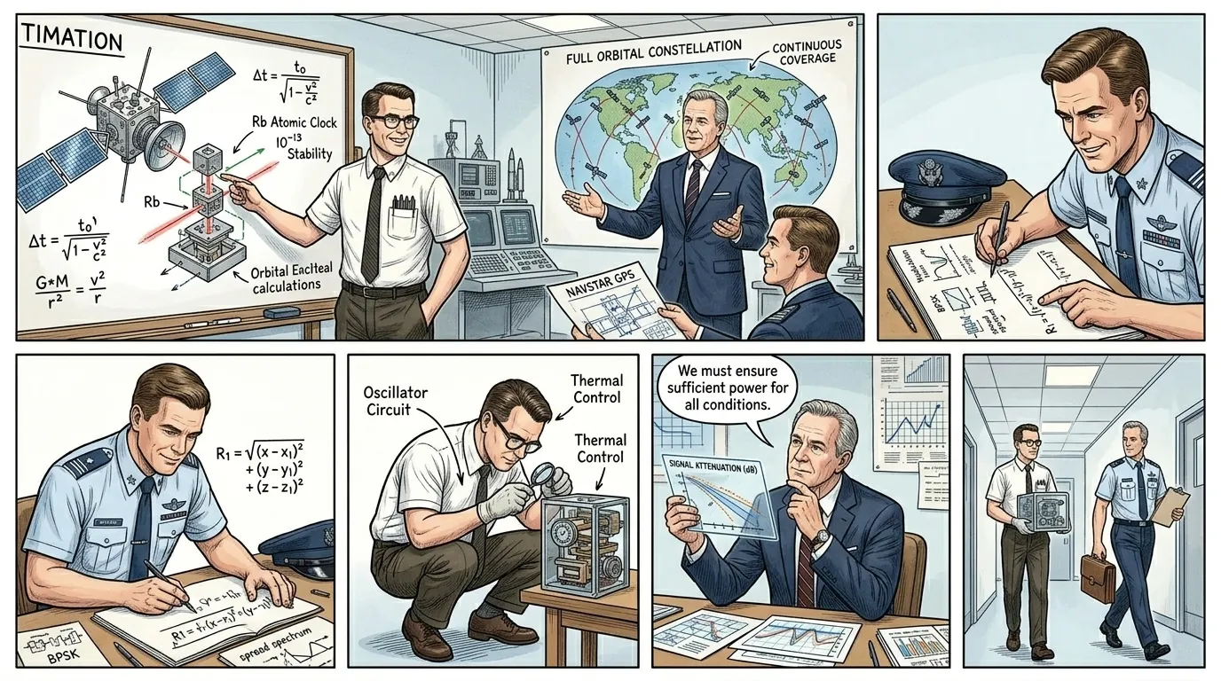
The development of GPS was a monumental collaborative effort, bringing together brilliant minds from various defense departments and scientific institutions. While Roger L. Easton laid critical groundwork with his 'TIMATION' satellites demonstrating passive ranging and accurate atomic clocks in space, Ivan A. Getting, president of The Aerospace Corporation, played a pivotal role in formulating the full system architecture.
Getting, an expert in radar and radio navigation, championed the concept of a constellation of satellites in specific orbits, transmitting continuous signals. Later, Colonel Bradford Parkinson of the U.S. Air Force emerged as the first program director in the early 1970s, skillfully integrating disparate ideas and overcoming immense bureaucratic and technical hurdles to transition the concept into a tangible development program, initially called NAVSTAR GPS. Their combined vision coalesced into the system we know today.
Page 6
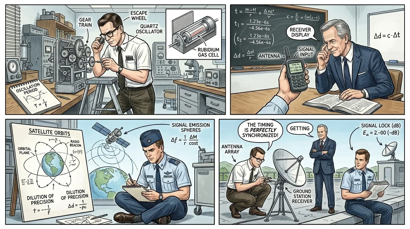
At its heart, GPS operates on a principle called trilateration, which determines a receiver's position by measuring its distance from multiple satellites. Each GPS satellite broadcasts a precisely timed radio signal, containing its exact orbital position (ephemeris data) and the precise time the signal was sent. Crucially, these satellites carry highly accurate atomic clocks to ensure extreme timing precision.
When a GPS receiver on Earth picks up this signal, it records the time the signal was received. By comparing its own internal clock's time with the signal's 'sent time,' the receiver can calculate the time delay. Since radio waves travel at a known speed (the speed of light), this time delay can be directly converted into the distance between the receiver and that specific satellite.
Page 7
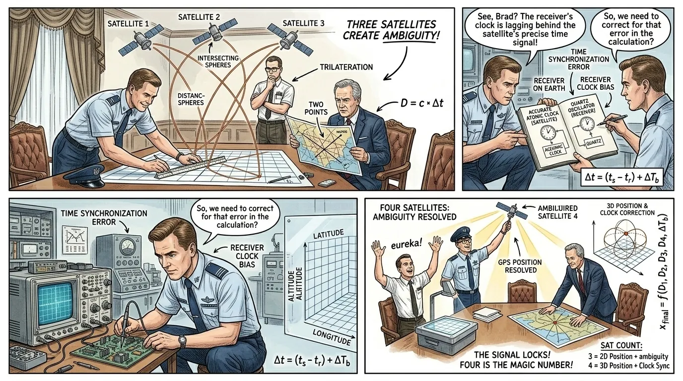
Calculating distance from a single satellite only places the receiver somewhere on a sphere with that satellite at its center. With two satellites, the receiver's position narrows down to a circle where the two spheres intersect. Three satellites can theoretically pinpoint the receiver's location to two possible points on Earth, one of which is usually geographically implausible.
The real challenge lies with the receiver's internal clock. While satellite clocks are incredibly precise atomic clocks, receiver clocks are typically less accurate quartz oscillators. Even a tiny error in the receiver's clock can translate to significant errors in distance calculations. To solve this, a fourth satellite is essential. The signal from the fourth satellite allows the receiver to mathematically resolve not only its three-dimensional position (latitude, longitude, and altitude) but also to correct for any offset in its own internal clock, providing extraordinary accuracy.
Page 8
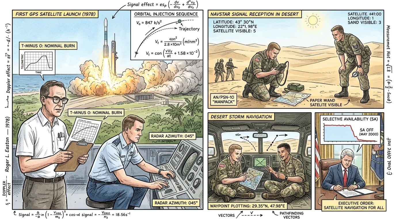
The first fully operational GPS satellite was launched in 1978, but it took years to build out the full constellation. By the mid-1990s, the system was declared fully operational with a constellation of 24 satellites. Initially, GPS was primarily a military asset, demonstrating its unmatched capabilities during the Persian Gulf War in 1991, where coalition forces used handheld GPS receivers to navigate the featureless desert terrain with unprecedented accuracy.
While a 'Selective Availability' feature, which intentionally degraded civilian GPS signals for national security, was active for many years, President Bill Clinton ordered its termination in May 2000. This crucial decision opened the floodgates for widespread civilian adoption, transforming GPS from a strategic military tool into a fundamental global utility, sparking a revolution in navigation and countless other applications.
Page 9
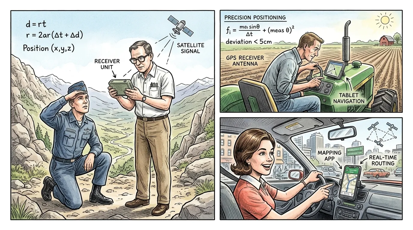
With civilian access to full GPS accuracy, the technology rapidly permeated almost every facet of modern life. Early adoption saw specialized receivers used for marine navigation, precise agricultural applications, and geological surveying. However, the true explosion came with the integration of GPS chips into consumer electronics, especially smartphones.
Today, GPS receivers are embedded in billions of devices worldwide. From guiding individual drivers and helping hikers find their way, to optimizing logistics for global shipping and enabling ride-sharing services, GPS is often taken for granted as an invisible, indispensable utility. Its continuous availability allows for unprecedented levels of efficiency, safety, and connectivity, demonstrating the profound impact of a system born from military necessity.
Page 10
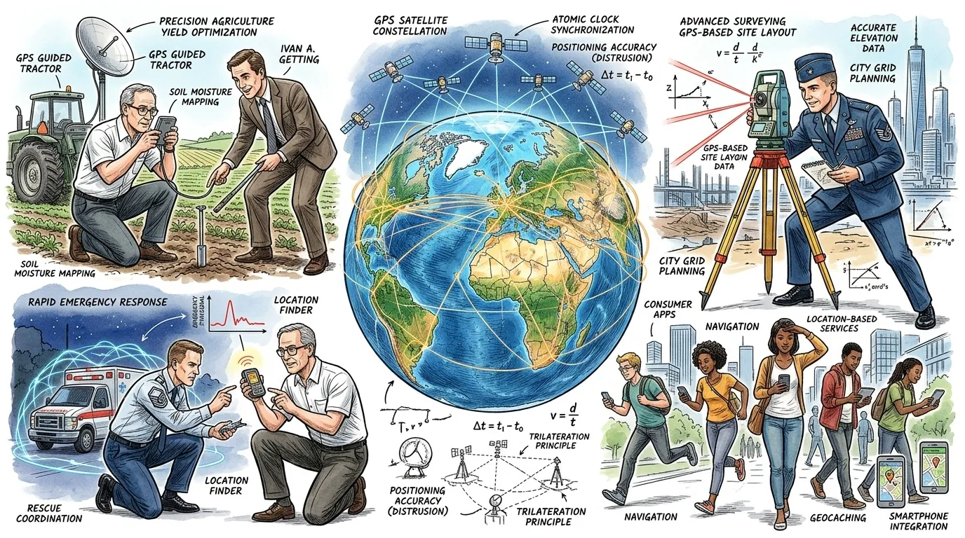
The Global Positioning System stands as a monumental achievement in engineering and international cooperation, fundamentally reshaping transportation, commerce, scientific research, and emergency services. It has spawned entire industries, from precision agriculture that optimizes crop yields to advanced surveying techniques that build our infrastructure, and location-based services that enrich daily life.
Though challenges remain, such as signal vulnerability and the need for ever-increasing accuracy, the enduring legacy of GPS is its transformation of our relationship with location. It empowers individuals and industries with unprecedented spatial awareness, demonstrating how a complex network of satellites, atomic clocks, and ground stations can become an invisible, yet utterly essential, foundation for the interconnected world.
About this story
- Location: Global
- Audience: general readers
Questions and answers
Read Wonder Inventions on your phone
Wonder Inventions is available on Android. Get Wonder Inventions on Google Play.