Navigation Chart
Navigation Chart — an illustrated inventions story, set in Global. 10 illustrated pages, free to read on Wonder Inventions.
Page 1
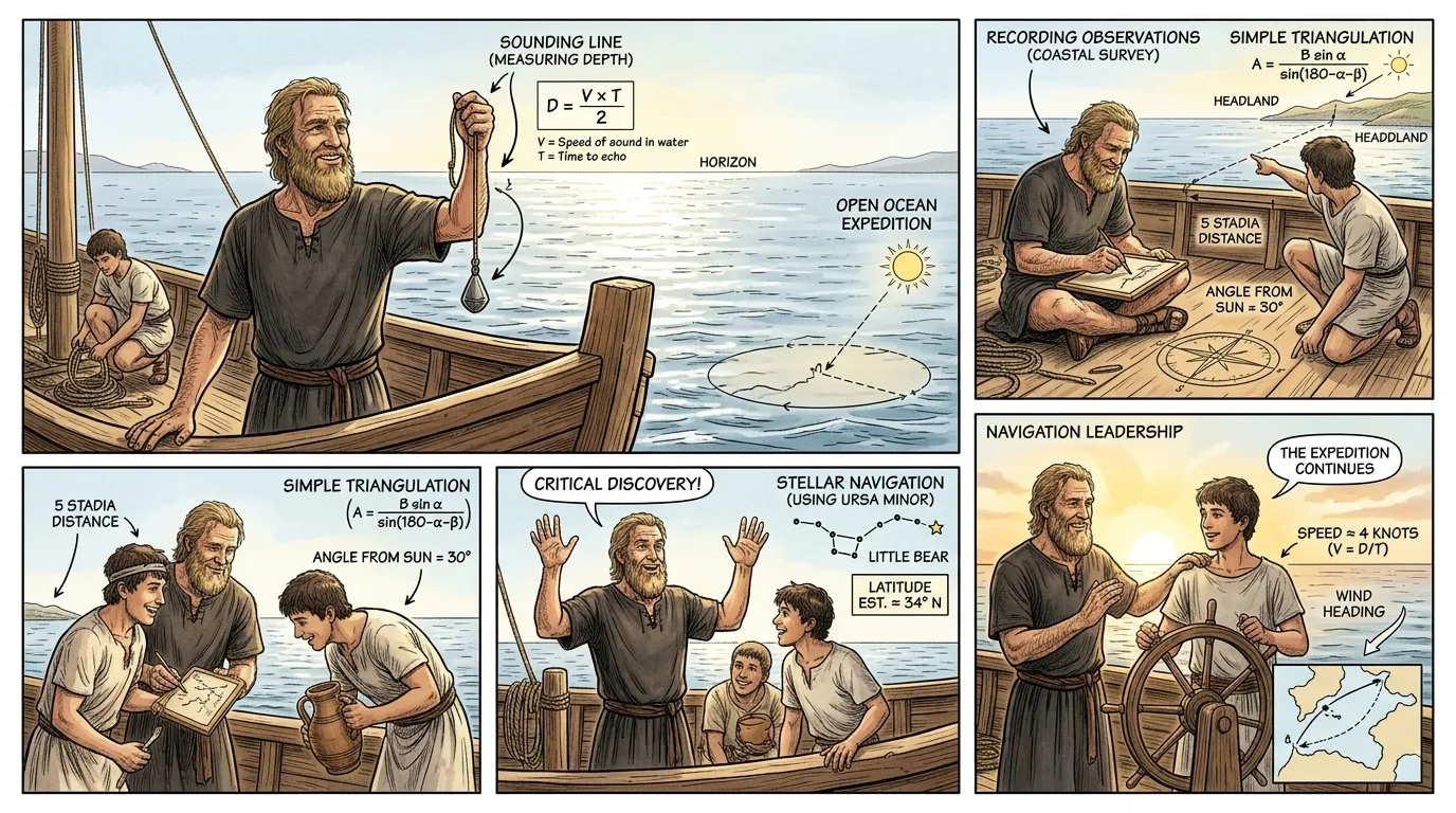
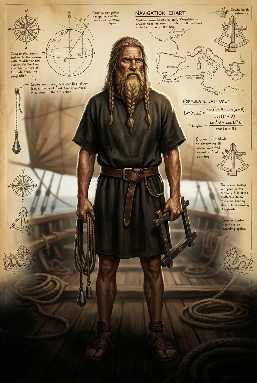
For millennia, humanity navigated by sight, stars, and sheer courage, clinging to coastlines. Venture too far, and the ocean became a terrifying, featureless expanse, a liquid desert where countless ships and lives vanished without a trace, leaving no knowledge of their fate.
"An ancient Phoenician captain, scanning a horizon devoid of landmarks, might have grimly proclaimed, 'Beyond the sight of land, even the gods themselves cannot chart our course. Each voyage into the deep is a gamble against the abyss, a journey into unknowable peril!'"
Page 2
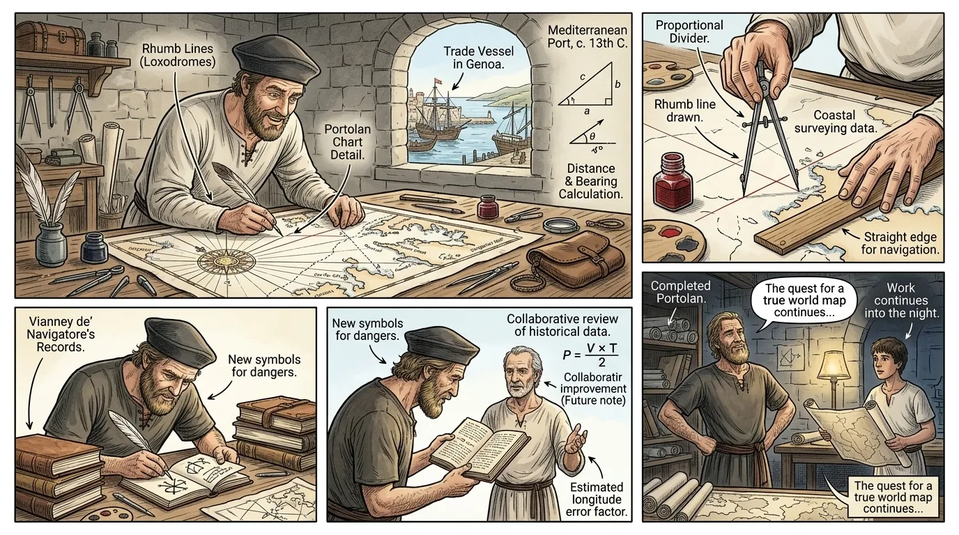
Early attempts at mapping, known as portolan charts, emerged from the Mediterranean in the 13th century. These meticulously drawn documents provided intricate coastal details and networks of rhumb lines, radiating from compass roses, connecting ports with direct bearings.
"A Genoese cartographer, tracing a line on parchment, explains, 'We mark every cove, every dangerous reef, every bearing from port to port. These charts are the heartbeat of coastal trade, guiding our galleys through familiar waters with precision unmatched by ancient wisdom.'"
Page 3
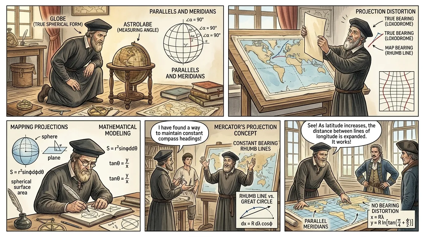
While revolutionary for regional navigation, portolan charts faced a fundamental limitation: they treated the Earth as a flat plane, making them increasingly inaccurate for voyages spanning vast oceans or exploring new continents. The distortion inherent in mapping a sphere onto a flat surface became an insurmountable challenge.
"An earnest Renaissance scholar, gesturing between a small globe and an expansive, but noticeably distorted, flat map, stated, 'To chart the newly discovered Atlantic, we confront a paradox: our flat maps, so useful in the narrow seas, betray the very truth of our spherical world, twisting distances and bearings with every league travelled westward.'"
Page 4
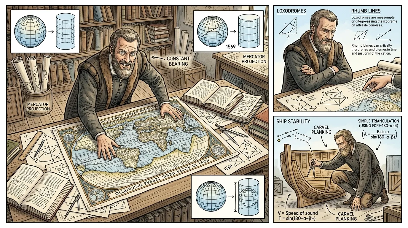
The solution arrived in 1569, from the meticulous mind of Gerardus Mercator, born Gerhard Kremer in Rupelmonde. He conceived a revolutionary cylindrical projection, transforming the arduous task of open-ocean navigation. His great world map, 'Nova et Aucta Orbis Terrae Descriptio ad Usum Navigantium Emendate Accommodata,' forever changed maritime travel.
"Mercator, hunched over his immense drafting table amidst scrolls and complex geometric drawings, declared, 'The sailor needs a chart where his course, a constant bearing, appears as a straight line. I have found the mathematical key to project our round Earth onto a plane, preserving angles, even if areas at the poles must stretch! This distortion is a necessary truth for precision at sea.'"
Page 5
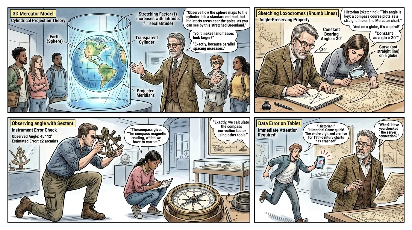
Mercator's genius lay in his mathematical compensation. He imagined wrapping a cylinder around the Earth, tangent at the Equator, then projecting meridians and parallels onto it. To maintain constant bearings as straight lines, he geometrically increased the spacing between parallels of latitude as they moved away from the Equator.
"A contemporary cartography instructor, pointing at a dynamic three-dimensional model, clarified, 'Observe how the cylindrical projection stretches the regions farthest from the equator, expanding Greenland far beyond its true size. This systematic distortion, however, is precisely what renders a straight line on the chart equivalent to a constant compass bearing, simplifying navigation immensely.'"
Page 6
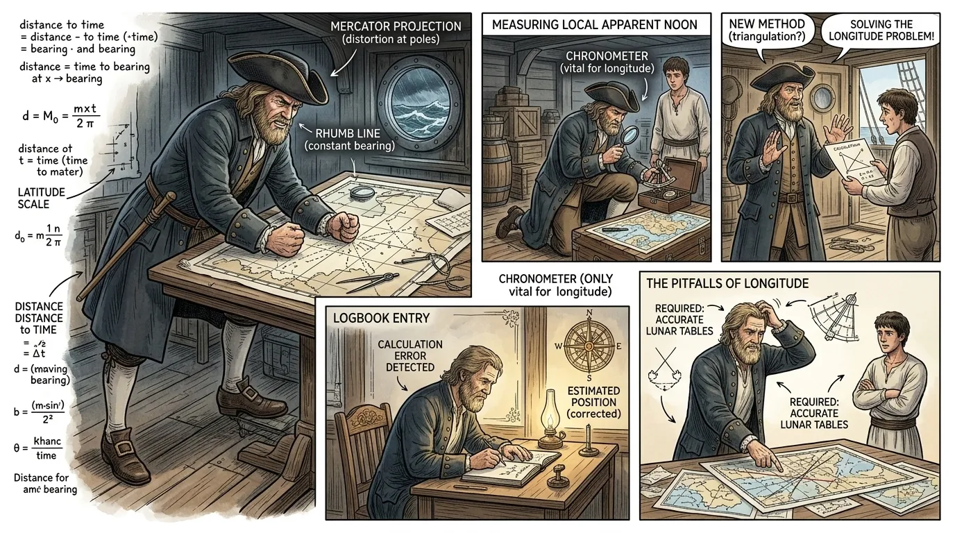
Despite Mercator's groundbreaking charts, a significant challenge remained: precisely determining a ship's longitude at sea. While latitude could be found by observing the sun or stars, longitude required knowing the exact time at a prime meridian, a feat impossible with the era's unreliable timekeepers.
"A frustrated 17th-century naval captain, slamming his fist on a Mercator chart, exclaimed, 'This chart tells me where I should go, but not precisely where I am! Without knowing my true east-west position, every storm could push us a hundred leagues off course, a hundred leagues closer to unknown shoals! This mystery of longitude torments every captain!'"
Page 7
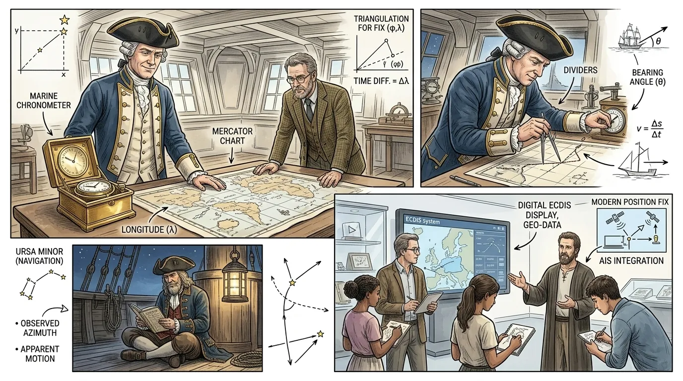
The definitive solution to longitude arrived with John Harrison's marine chronometer in the mid-18th century. By carrying the precise time of a known meridian (like Greenwich), navigators could compare it with local apparent noon, thus accurately calculating their east-west position and plotting it onto their Mercator charts with unprecedented precision.
"A Royal Navy officer, studying a Mercator chart with new confidence, declared, 'With Harrison's chronometer, we now carry Greenwich itself across the oceans! For the first time, our position on these charts is not an educated guess, but a precise truth. The seas have yielded their final secret to human ingenuity!'"
Page 8
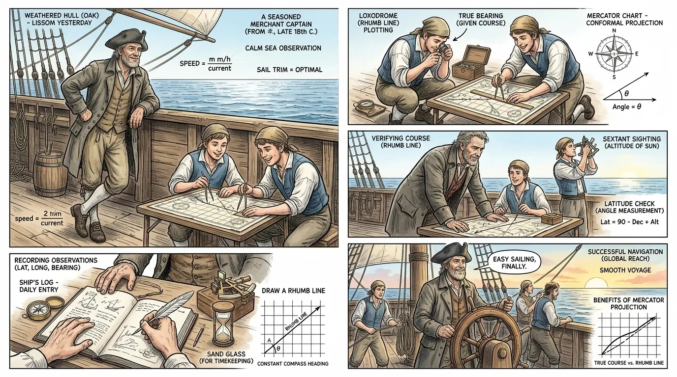
With the combination of Mercator charts and accurate chronometers, maritime navigation was revolutionized. Navies could project power globally, merchant fleets expanded trade routes, and explorers charted the last unknown corners of the world, all guided by precise, reliable charts. The world truly became interconnected.
"A seasoned merchant captain, leaning on a ship's rail while a Mercator chart is being consulted below, remarked, 'We sail farther, faster, and with far less fear now. These charts, combined with Harrison's genius, have transformed the impossible into the routine. The whole world is now within reach, open for trade and discovery!'"
Page 9
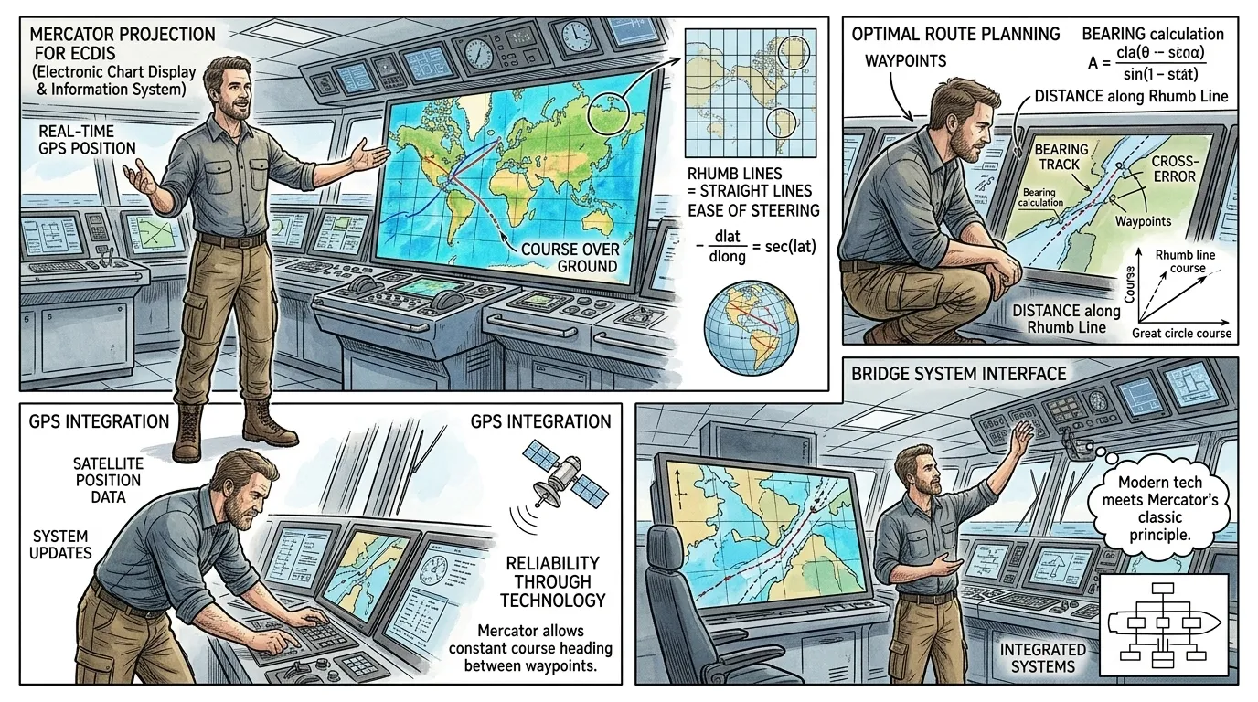
The fundamental principles of the navigation chart, pioneered by Mercator, persist even today. While other projections emerged for specific purposes, the Mercator projection remains the cornerstone for real-time marine navigation. The advent of electronics brought forth the Electronic Chart Display and Information System (ECDIS), integrating digital charts with GPS.
"A modern maritime engineer, gesturing to an advanced digital display, elucidated, 'The digital chart on this ECDIS may appear futuristic, but its underlying Mercator grid is a direct descendant of the 16th-century revolution. We still rely on its properties for precise course plotting, now augmented by satellite positioning and real-time data, but the core idea endures.'"
Page 10
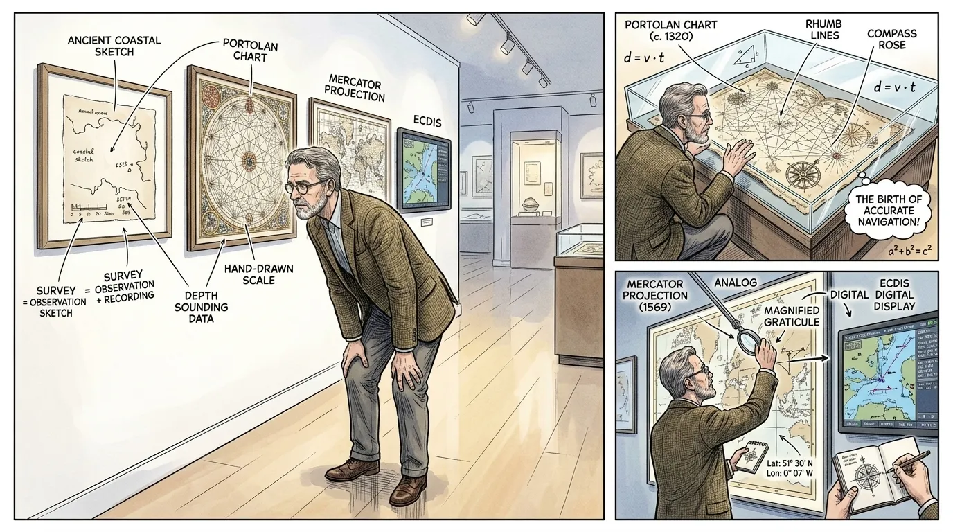
From simple coastal sketches to intricate digital interfaces, the navigation chart represents humanity's unending quest to conquer the unknown. It transformed chaotic voyages into calculated journeys, shrinking the globe and enabling an era of unprecedented connectivity and commerce. Its evolution continues, guided by the same fundamental need for reliable orientation.
"A distinguished maritime historian, standing before a museum display featuring charts from different eras, thoughtfully recited, 'As the Roman philosopher Seneca once observed, 'All art is but imitation of nature.' In cartography, we do not merely imitate; we interpret, we predict, we master nature's vastness, making the perilous known. The navigation chart is, perhaps, humanity's most profound tool for understanding and traversing our world.'"
About this story
- Location: Global
- Audience: general readers
Questions and answers
Read Wonder Inventions on your phone
Wonder Inventions is available on Android. Get Wonder Inventions on Google Play.