Satellite Navigation
Satellite Navigation — an illustrated inventions story, set in Global. 10 illustrated pages, free to read on Wonder Inventions.
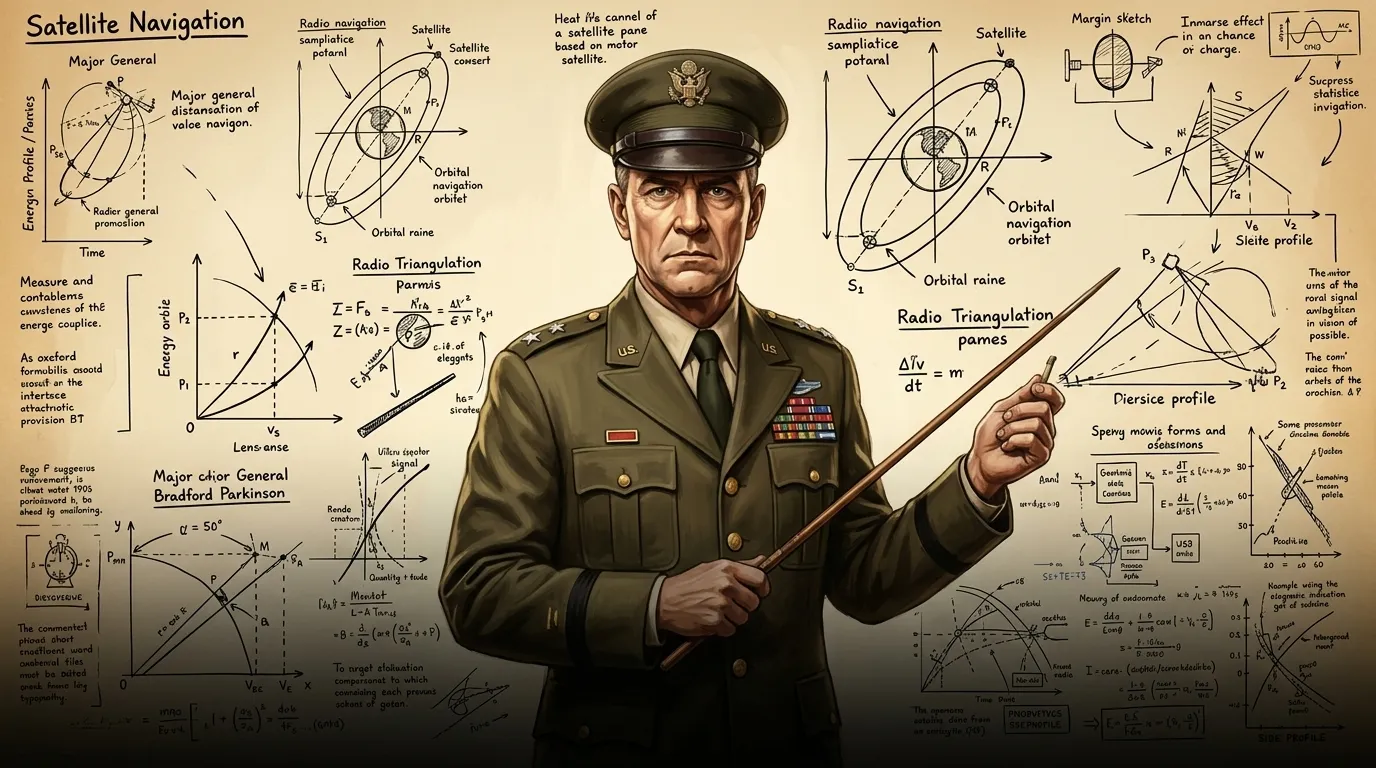
Page 1
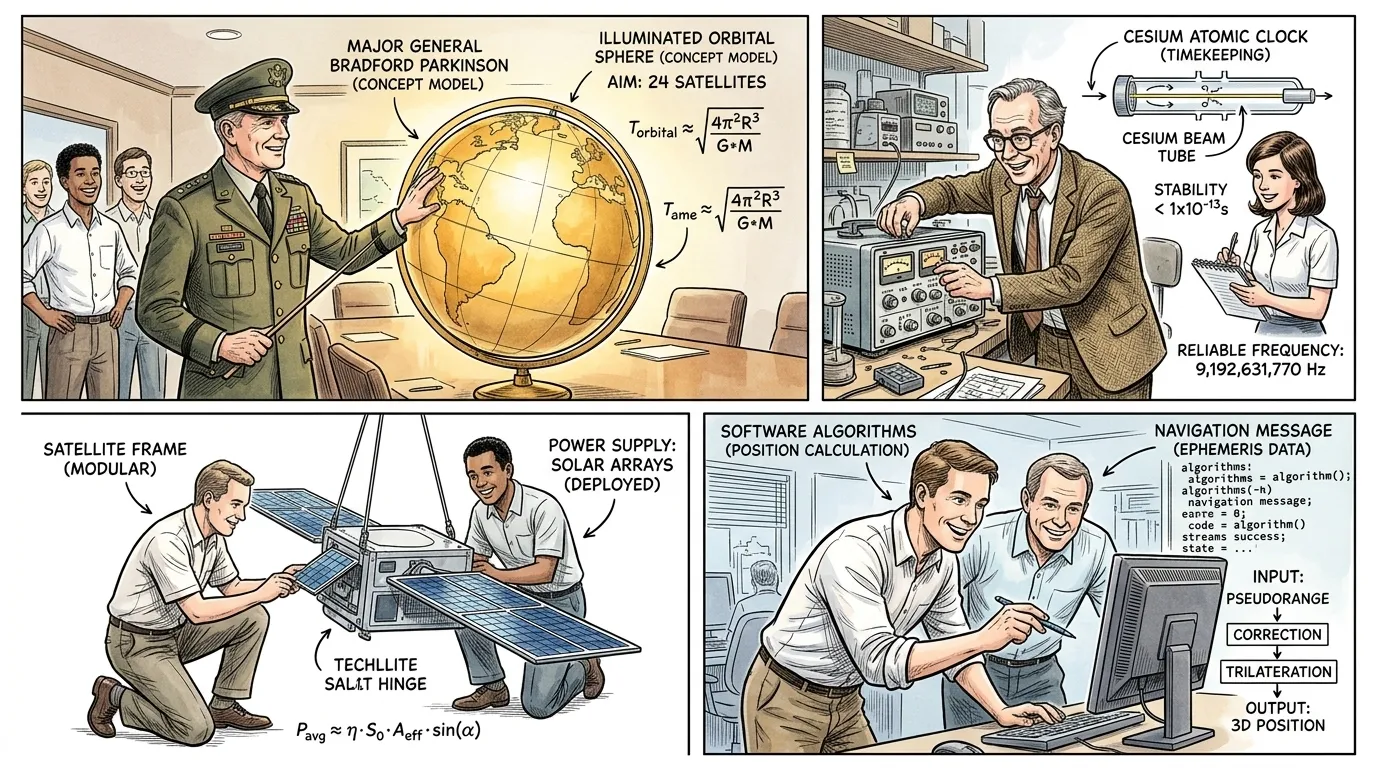
Across vast oceans and endless skies, the challenge of precise location had long plagued humanity. Sailors used sextants and stars, pilots relied on ground-based radio beacons, but truly accurate, continuous positioning remained an elusive dream.
""Our reliance on celestial fixes and vulnerable radio signals creates unacceptable risk," Major General Bradford Parkinson stated to his team, gesturing at a globe. "We need a system that offers unwavering precision, anywhere on Earth, anytime.""
Page 2
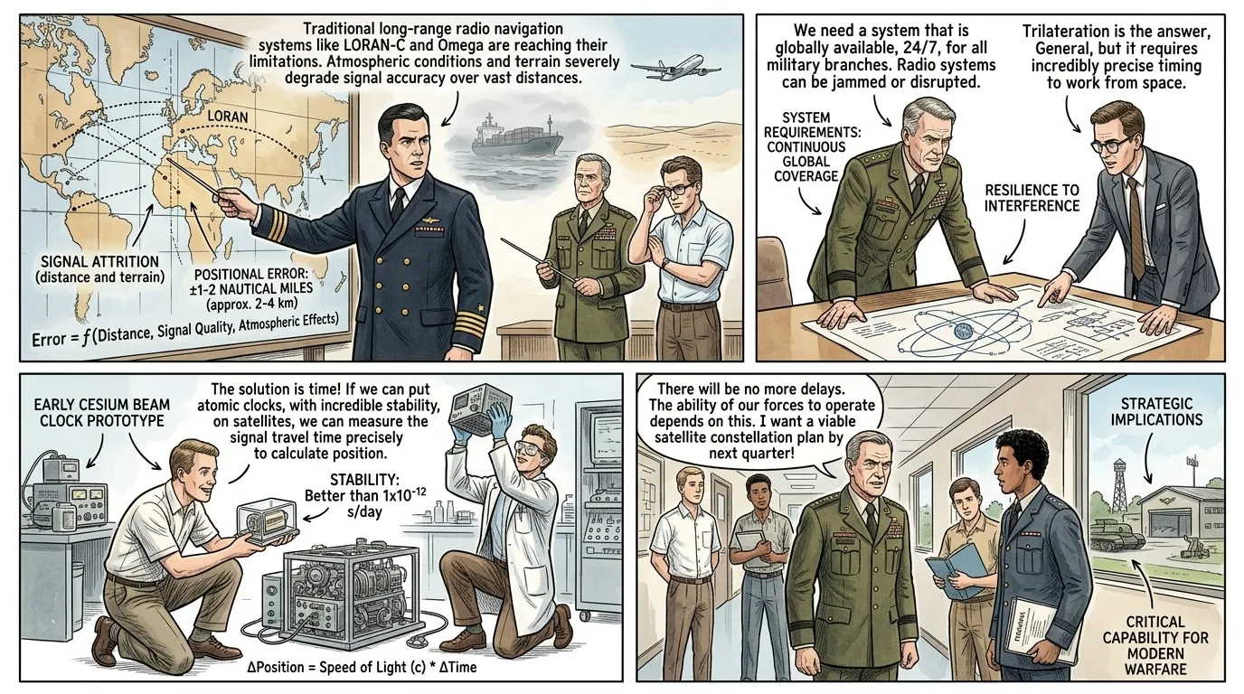
Before satellite navigation, journeys across featureless landscapes or open water were feats of constant calculation and inherent uncertainty. Navigators painstakingly measured star angles, triangulated radio signals, or tracked distant landmarks, each method prone to error and environmental interference.
""Imagine a ship in heavy fog, or an aircraft over enemy territory," a naval officer explained, tapping a complex map filled with dotted lines. "Losing a position fix for even moments could mean catastrophe. Current long-range radio navigation, like LORAN, is better, but still lacks the global reach and absolute accuracy we require.""
Page 3
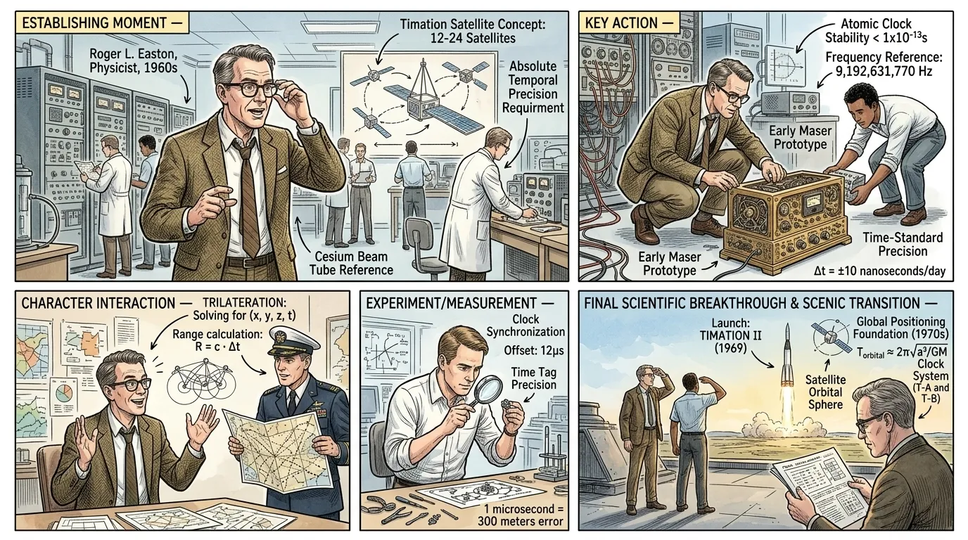
In the 1960s, a breakthrough emerged from the Naval Research Laboratory with the Timation satellites. Roger L. Easton, a brilliant physicist, pioneered passive ranging techniques and placed highly stable atomic clocks into orbit, proving that precise time signals from space could be used for navigation.
""The key, gentlemen, is absolute temporal precision," Roger L. Easton declared, adjusting his spectacles in the bustling laboratory. "By broadcasting a time-stamped signal from orbit, a receiver on Earth can calculate its distance based on the tiny delay. This isn't just about location; it's about synchronizing every clock in the world to an unprecedented degree.""
Page 4
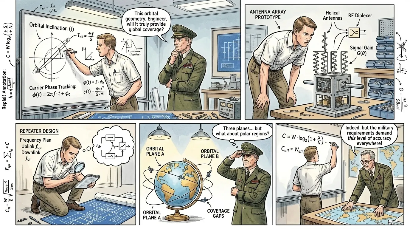
The concept was revolutionary, but building a global satellite navigation system required unprecedented collaboration and engineering ingenuity. The U.S. Department of Defense launched the Navstar program, led by Bradford Parkinson, to integrate these disparate technologies into a unified, robust architecture.
""Connecting these orbiting clocks into a seamless, worldwide network presents challenges unlike any we've faced," an engineer remarked, sketching on a whiteboard. Parkinson, observing the complex diagrams, replied thoughtfully, "Indeed. As Isaac Newton observed, 'Truth is ever to be found in the simplicity, and not in the multiplicity and confusion of things.' Our task is to distill this complexity into an elegant, functional simplicity that serves every user.""
Page 5
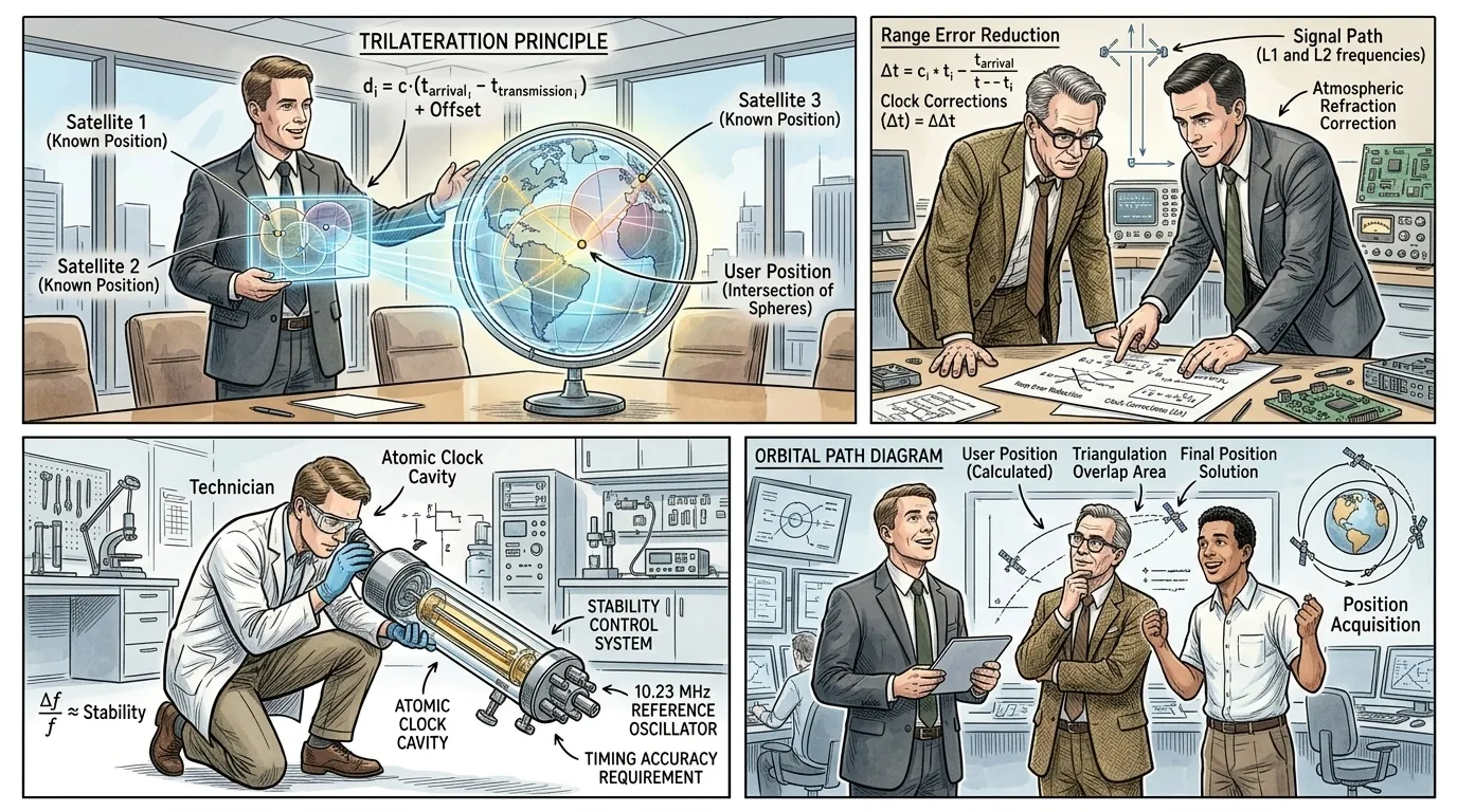
The fundamental breakthrough of GPS wasn't just timing, but how those precise time signals from multiple satellites could be used for trilateration. Unlike triangulation, which uses angles, trilateration determines position by measuring distances from known points, each creating a 'sphere of possibility.'
""Imagine a single satellite transmitting its location and precise time," a project manager explained, using a visual aid. "Your receiver knows exactly when that signal was sent, and it records when it arrives. The time difference, multiplied by the speed of light, gives us your distance from that satellite—placing you somewhere on a giant sphere around it.""
Page 6
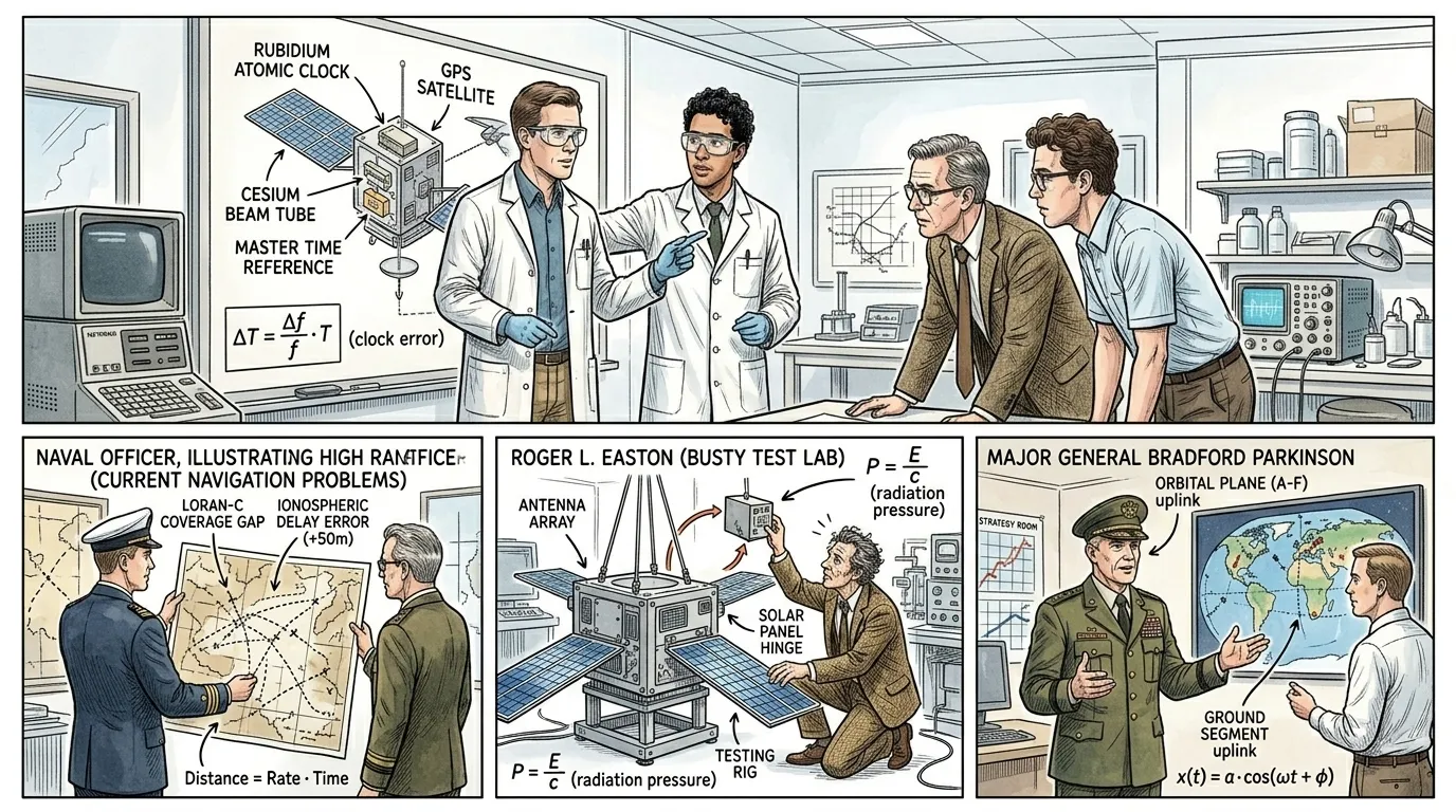
Each GPS satellite carries multiple atomic clocks, accurate to within a few nanoseconds. These clocks generate the precise timing signals, along with data about the satellite's exact position in orbit (ephemeris data) and the overall system health (almanac data), which are continuously broadcast down to Earth.
""The atomic clocks are the heart of the system," a technician stated, pointing to a diagram of a satellite. "They provide the master time reference. The signal itself contains not just the 'time stamp,' but also critical data on where the satellite currently is, allowing the receiver to understand the orbital geometry required for calculations.""
Page 7
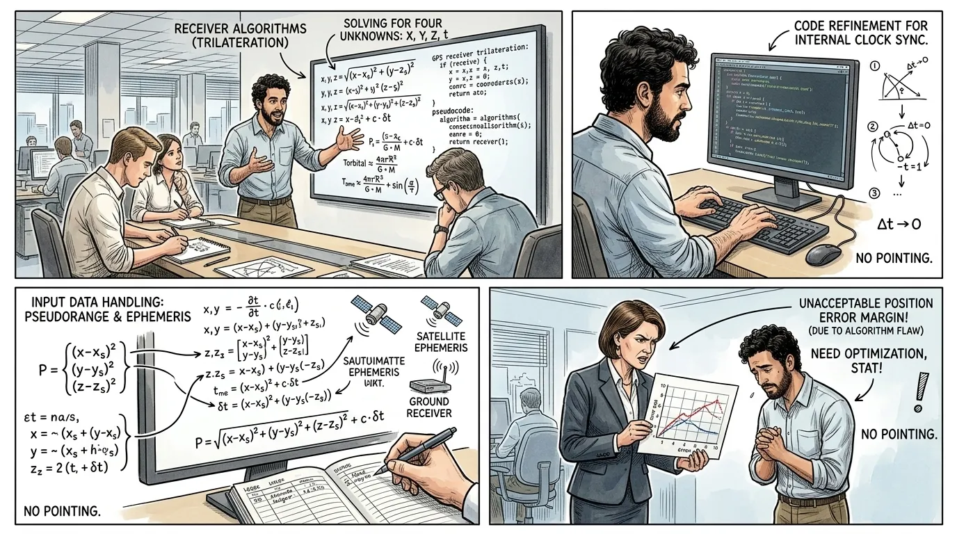
On Earth, the GPS receiver records the arrival time of signals from at least four satellites. By comparing these highly accurate time stamps, and knowing the speed of light, the receiver calculates its distance to each satellite. With four distances, it can solve for its exact three-dimensional position (latitude, longitude, altitude) and correct for any clock discrepancies within itself.
""Once we have accurate ranges from at least four satellites, the receiver performs a series of complex calculations," the lead software engineer explained, gesturing at a screen displaying algorithms. "It's simultaneously solving for X, Y, Z coordinates and synchronizing its own internal clock with the highly precise atomic clocks in orbit, a testament to the initial Timation concept of exact timing.""
Page 8
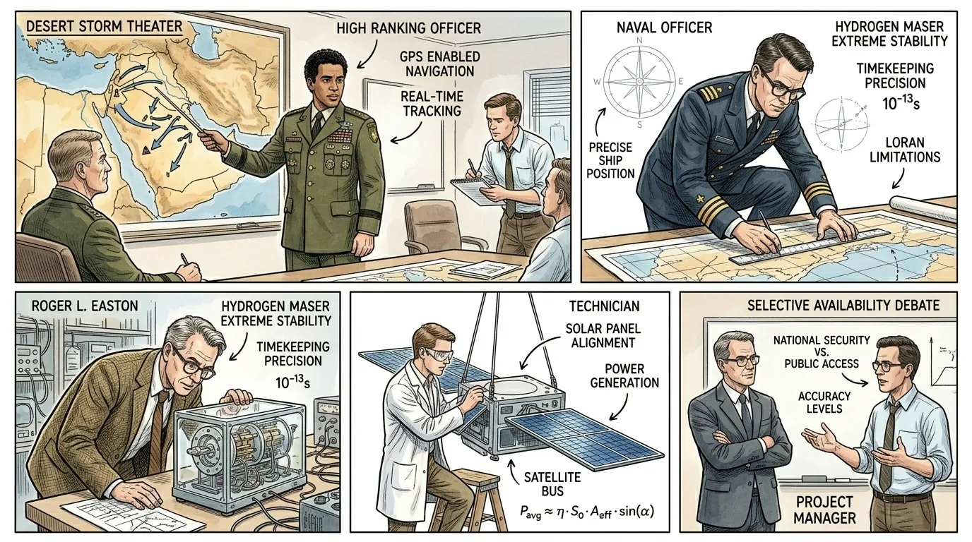
By 1995, the full constellation of 24 operational GPS satellites was declared, achieving Full Operational Capability (FOC). Initially, its primary purpose was military, transforming modern warfare by enabling unprecedented precision in targeting, troop movement, and logistics.
""The impact on military operations is profound," a high-ranking officer noted during a briefing, pointing at a map of a desert theater. "During the Gulf War, GPS allowed our forces to navigate vast, featureless terrain with pinpoint accuracy. It was a decisive advantage, enabling precision strikes and coordinating movements in ways previously unimaginable.""
Page 9
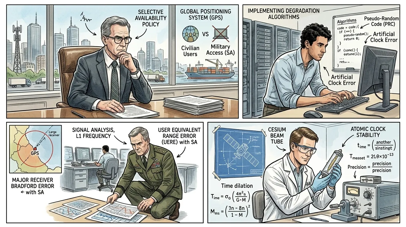
Despite its military origins, the potential of GPS for civilian use was undeniable. However, for decades, the U.S. government intentionally degraded the public signal, a policy known as 'Selective Availability,' to preserve military advantage. This changed dramatically in 2000.
""The debate over Selective Availability was contentious," a government official reflected. "While vital for national security, denying civilians the full potential of GPS hindered innovation. President Clinton's decision in 2000 to discontinue SA unlocked a floodgate of commercial and public applications, transforming the system into a truly global utility.""
Page 10

Today, satellite navigation, spearheaded by GPS and complemented by systems like GLONASS, Galileo, and BeiDou, has transcended its military origins to become an invisible, indispensable utility. It underpins countless aspects of modern life, from precision agriculture to global logistics, emergency services, and personal mobility.
"The profound impact of satellite navigation is now woven into the fabric of our daily existence, guiding us with silent, unwavering precision. It stands as a monumental testament to human ingenuity, transforming how we explore, connect, and thrive on a global scale."
About this story
- Location: Global
- Audience: general readers
Read Wonder Inventions on your phone
Wonder Inventions is available on Android. Get Wonder Inventions on Google Play.